


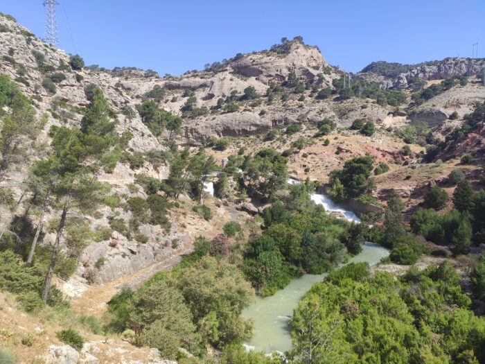
El Caminito del Rey Path is placed in the middle of multi-layered natural surroundings that consist of reservoirs, mountains, gorges, and valleys, which are difficult to approach. This is why it is impossible to reach the beginning of the path by vehicle but you need to walk for quite a while. Was one of the best experience that I did in this in this travel, I enjoyed so much.
GENERAL INFORMATION
The timetable, opening dates and future changes or modifications are going to be established by the company in charge of El Caminito del Rey Path’s management, conclusion you can’t visit whenever day you want.
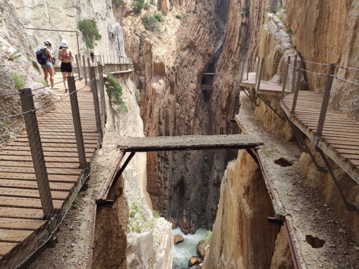
This route is 7.7 km long, which is a total of 4.8 km-long accessways and 2.9 km-long boardwalks. As for the boardwalks, which are the most famous part of the path, the distance between the entrance and exit to this part is 2.9 km, and it includes 1.5 km-long boardwalks and 1.4 km-long forest trails.
You can book the individual visit 10€ or the guided visit (ES/EN) 18€. Buy the ticket with shuttle bus included 1,55 €.
PREPARE YOUR VISIT
The estimated time you need to complete the route (this is the way that comprises the two boardwalks, and the paths and the forest trails that serve as the entrance to the area or its exit) is between three and four hours. From 1st October 2015, you can only walk in one direction, from the northern entrance in Ardales to the exit in the south at El Chorro in Álora. This route is downhill, so it is easier and it takes less time.
Some recommendations for you:
- Bring water, fruits, and protection cream
- Book your visit in the morning, if the wind is too high the Caminito will be closed
- Don’t worry if they close for the weather you can book the day after
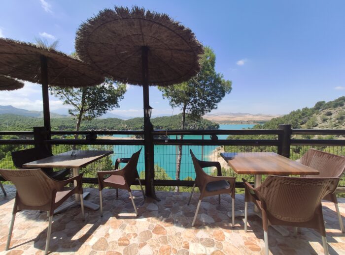
- For lunch, I recommend you the El Kiosko Restaurant (make a reservation if you are more than 2)
HOW TO GET THERE
This beautiful area, which hoards historical treasures and gorgeous scenery, lies in the middle of the Province of Málaga (about 60 kms from Malaga city), and it is surrounded by the Serranía de Ronda and Antequera.
BY CAR
If you start your trip in Málaga City, take the A–357 motorway and go towards the MA-5403, through the Towns of Cártama, Pizarra, Carratraca, and Ardales. This route is 59.1 km long, and it takes a bit more than 50 minutes by car. In Pizarra, you can also go to Álora by road, and then along the A-343 to El Chorro Train Station. This route is a little bit longer – 60 km, and you will take a little more than one hour to get to your destination. The road is narrower and curvier than the previous one. Directions are well indicated so don’t worry no chance to lost.
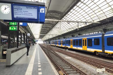
BY TRAIN
Check-in advance with RENFE schedules, prices and stations where trains stop before making the trip. Once you reach the area, you can approach the trail by road or train…
1) You can leave your vehicle at El Chorro Train Sation in Álora, a spot where the route ends (southern exit). In this case, there is to keep in mind that El Caminito del Rey Path starts one or one hour and a half later.
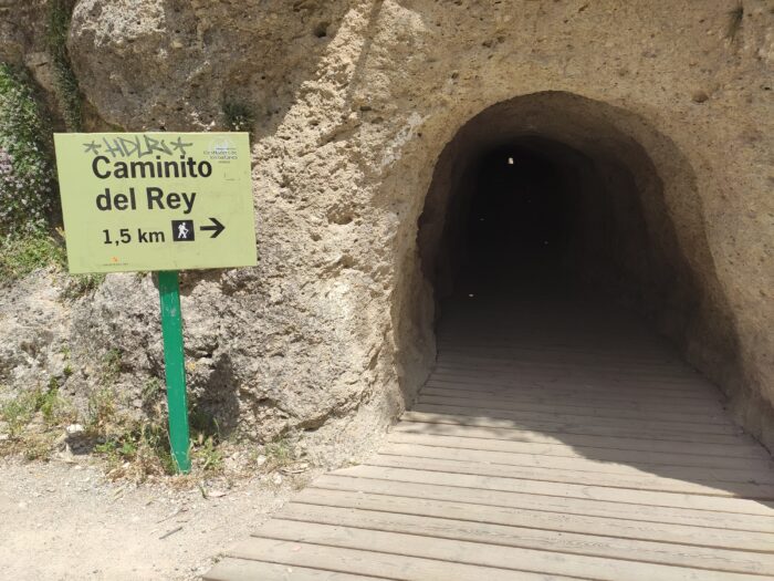
2) You can leave your vehicle in the northern exit which I recommend to you. There is a parking (2€ all day) where you can leave the car, then the shorter way is through the smaller tunnel in front of the Kiosko Restaurant (some 200 metres away);
You need to wait from 15 to 30 at the control cabin so the groups would be formed according to the time of their visit.


